ABOUTDEVELOPERSRESOURCES
|
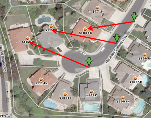
SpatialStream® Data Solution: Parcel Level GeocodesToday’s mapping applications, geospatial systems, and business analysis require a high degree of precision. Because parcel data is the ultimate source of a property’s location and its physical characteristics, it significantly enhances the accuracy and context of location technologies. Parcel-centroid geocoding improves location accuracy, data linking, and spatial analysis and is becoming the standard across a wide variety of industries. With SpatialStream™ you can Geocode an address and return a Parcel Centroid latitude/longitude result. The SpatialStream™ Geocode service can be used interactively within your web application or can be used to generate a result you can store in your database for use in subsequent spatial queries and display.These geocoding features are available through an easily implemented REST service or as an onsite delivery.
Reliable and current geodata is the new expectation for today's location technologies. Click on the links below to learn more about how SpatialStream® can help you add valuable data to your mapping application.
|